1
/
of
3
transpontinebooks
The French Alps FRENCH RAILWAYS TOURIST LEAFLET 1950’s Illustrated Map Of Region
The French Alps FRENCH RAILWAYS TOURIST LEAFLET 1950’s Illustrated Map Of Region
Regular price
£6.00 GBP
Regular price
Sale price
£6.00 GBP
Unit price
/
per
Taxes included.
Shipping calculated at checkout.
Couldn't load pickup availability
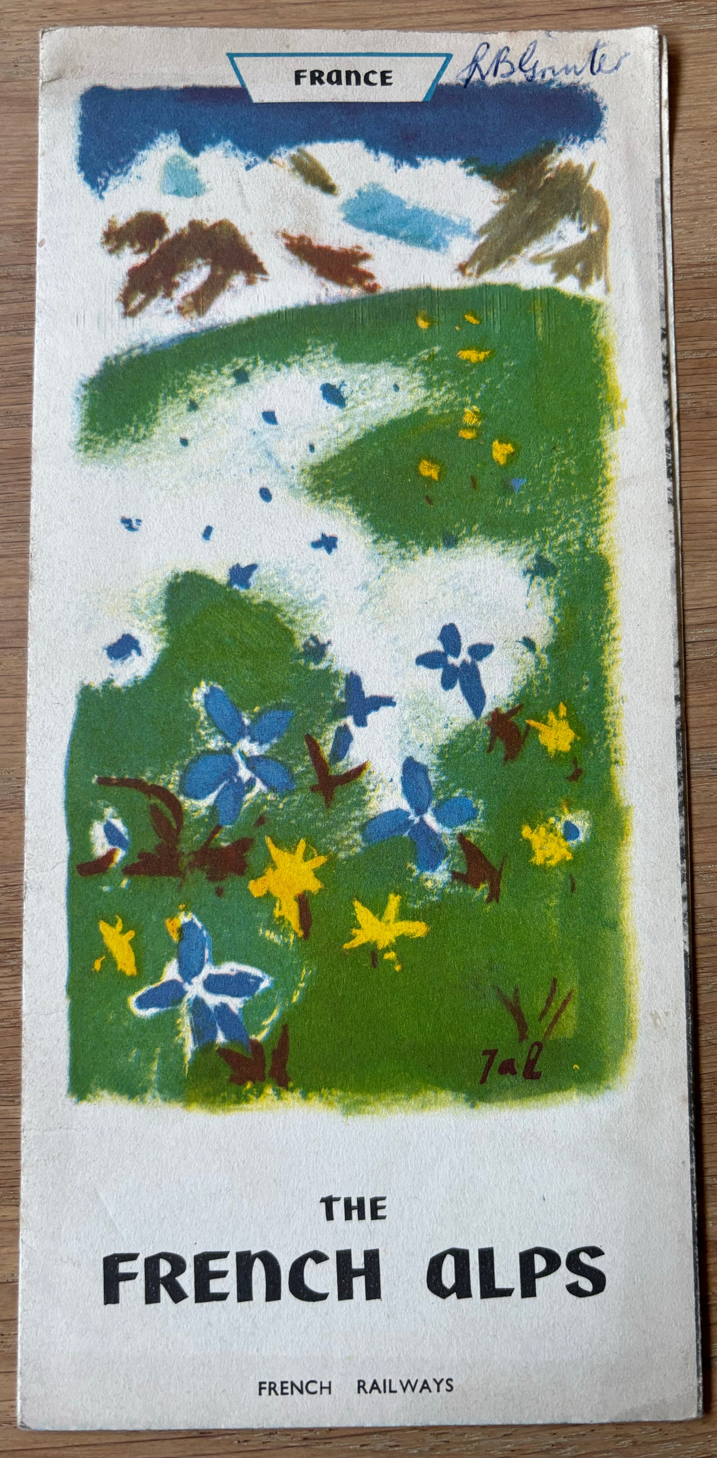
The French Alps
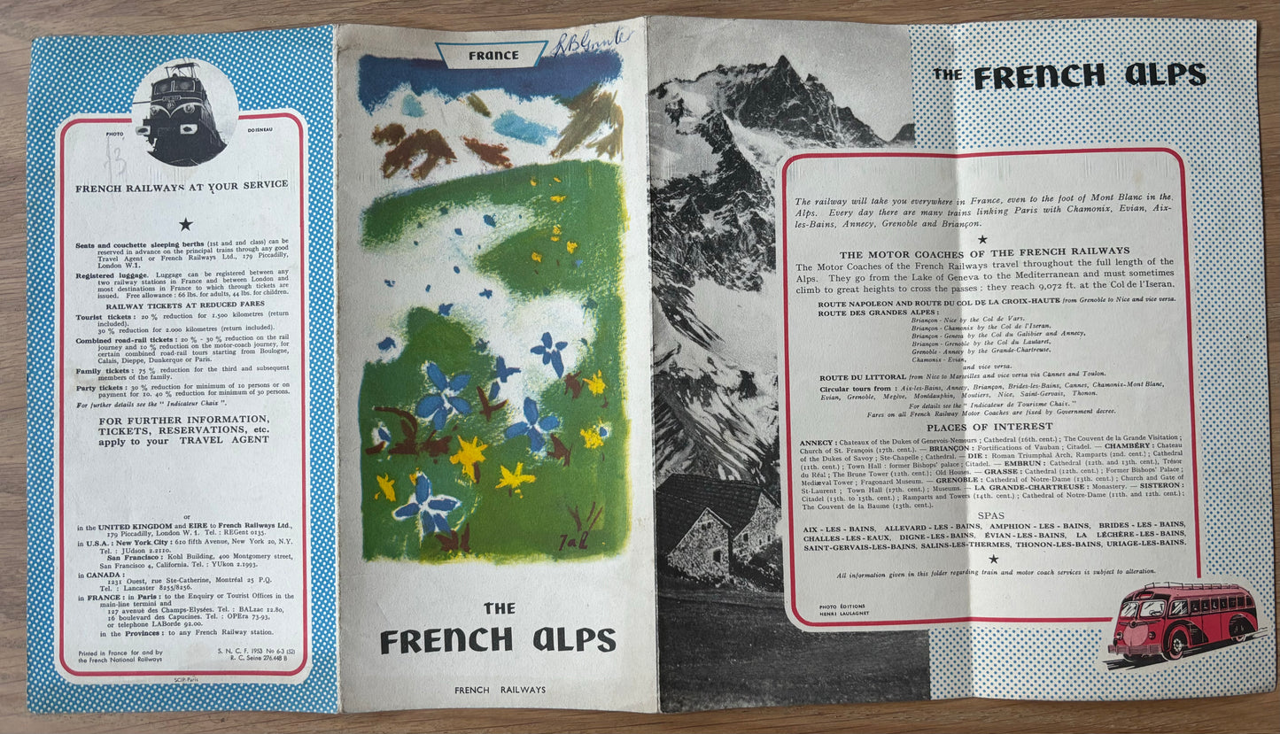
French Railways Tourist Information Leaflet
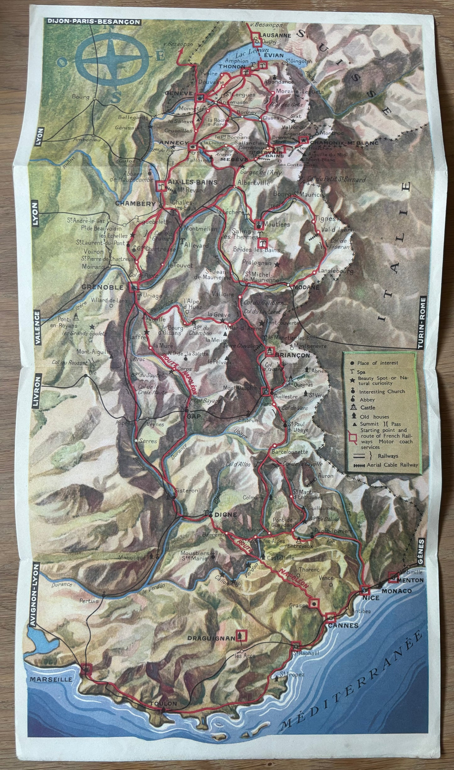
Opens out into a map of the region.
Believe this was issued during the 1950’s. Handling marks in margins. Cover design is soiled but still reasonably bright and noted that there is a neatly written name in corner.
Share


